Thompson received close to double the usual amount of snow for the month this November, with a pair of record-breaking days early one making up a large part of the difference.
Nearly 70 centimetres of snow fell in Thompson in November, compared to an average of 35.4 centimetres, says Environment Canada weather preparedness meteorologist Natalie Hasell.
Factors in the significantly higher-than-normal snowfall included a large portion of the low pressure systems that passed through Manitoba traversing the province’s central and northern regions in November, as well no recorded temperatures above freezing for the month and low cloud that results in frequent light snow, even if the accumulation amounts weren’t necessarily substantial.
“There were very few days where you had no snow,” said Hasell.
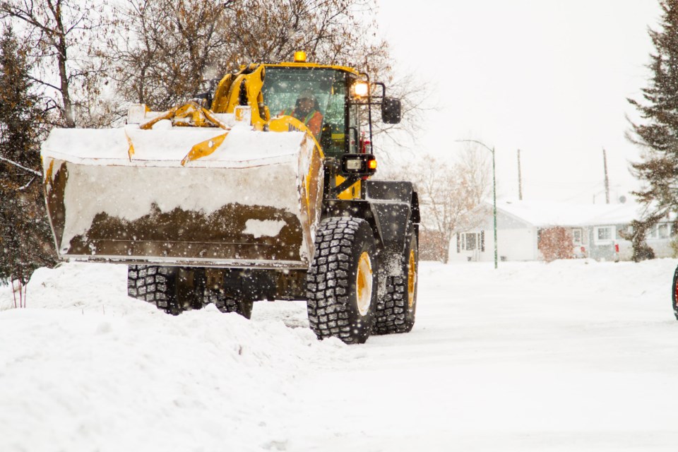
Measurable snowfall occurred on 19 days in November, more than the average of about 16 snowfall days for the month. About 30 cm fell on back-to-back record-setting days Nov. 8-9, prompting the city to put snow-clearing crews on round-the-clock duty for several days in an attempt to make streets passable.
The month-end snow on the ground depth for November was 54 cm, a record for the period dating back to 1967, although there have been November days in that same time period when there was more snow on the ground that that, including a record 74 cm on Nov. 24, 1971, though by Nov. 30 of that year it was down to 51 cm.
The average snow depth for Thompson at the end of November is 23 cm.
Hasell says wind, melting and sublimation (a change of state from solid to gas without passing through a liquid form) account for snow depth amounts being less than the total amount of snow that falls in a given period, as does the type of snow that falls, such as small crystals or big fluffy snowflakes, which can result in greater or lesser compaction.
“We have a combination of those things going on for November,” she said.
Once temperatures dip into the mid negative 20s, heavy snowfall is less likely because that is usually indicative of a ridge of Arctic air over an area. If surface temperatures are -20, it’s too cold for whatever clouds are present to produce snowfall, Hasell says.
Although October and most of November saw temperatures colder than the seasonal average for the time of year, that has changed since the last week of November and temperatures this week are about 10 degrees above the average for early December due to a warm upper ridge over Western Canada acting as a heat dome and resulting in temperatures as high as 15 degrees Celsius in Calgary Dec. 3.
Hasell says temperatures will drop to around normal or below normal levels next week and that now is a good time to complete any winter preparedness tasks like servicing your furnace that haven’t been completed yet before the real cold arrives.
“Winter will come again,” she said. “Every season has its hazards.”


