The Thompson planning district board and Thompson city council approved second reading of a trio of bylaw amendments that will make residential development north of the Burntwood River possible Oct. 28.
The first amendment was to the planning district development plan, redesignating three parcels of land – one on the west side of Highway 391 to the south of the horse stable road, another to the north of the stable road and a third on the east side of the highway between the cemetery and the golf course – from “future development” to “residential neighbourhood.” This change allowed council, during their meeting that followed, to approve second reading of a pair of bylaw amendments rezoning the parcel on the east side of the highway from “urban hold” to “rural residential” and the parcel north of the stable road to “rural - large lot” from “urban hold.”
During a public hearing prior to the planning district meeting, several users of the cross-country ski trails north of the Burntwood River, which lie in the parcel of land west of the highway but south of the stable road, voiced objections to that land being redesignated as “residential neighbourhood” because they fear that could eventually lead to the trail being demolished for housing lots.
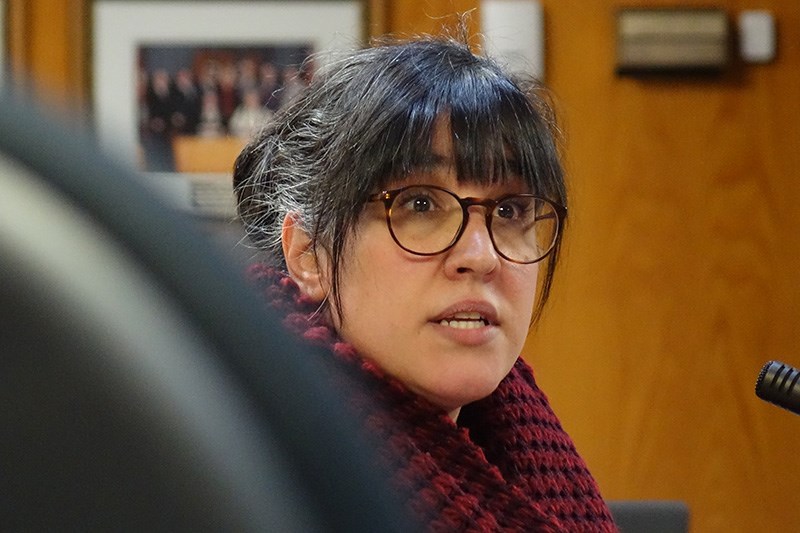
“Is there anyway that this chunk of land … is there any way that while we’re rezoning this could just be rezoned recreational and then we never have to worry again about it being taken?” asked Bonnie Sousa.
Provincial government Municipal Relations community planner Bret Mack said that piece of land isn’t currently being rezoned.
“It’s being redesignated. It’s not being rezoned. That means no additional uses can be brought into that zone currently. Nothing will change within that area because of this redesignation. The major change that would ever happen is when a rezoning would take place and that’s not, as far as I know, even an issue or a forethought at this point in time.”
City manager Anthony McInnis said that the land the ski trails sits on could be rezoned recreational to protect it if a request was brought forth to the development review committee.
Former councillor Penny Byer told the planning district that the idea of creating residential lots north of the river has been around since the 1980s and that the steps needed to make that possible need to be taken urgently.
“Thompson has been lacking for decades in providing this kind of housing opportunity and I think we have to get with the program and move forward on this so I absolutely support this and I hope that we’re able to move forward a little faster on this,” she said.
During the council meeting, when second reading was given to the bylaw amendments rezoning the two parcels of land further north, councillors Jeff Fountain, Duncan Wong, Brian Lundmark, Andre Proulx, Les Ellsworth, deputy mayor Kathy Valentino and Mayor Colleen Smook all said that they weren’t in favour of any development on the land where the trails are. Mack said earlier that the reason it was included in the development plan redesignation was to make it possible to allow development on the land to the south of the stable road in the future without seeking the provincial government’s approval, which can take six months to a year to obtain.


