Record flows being released by Saskatchewan Power from reservoirs along the Churchill River could result in significant rises and possible flooding in northwest Manitoba, the provincial government says.
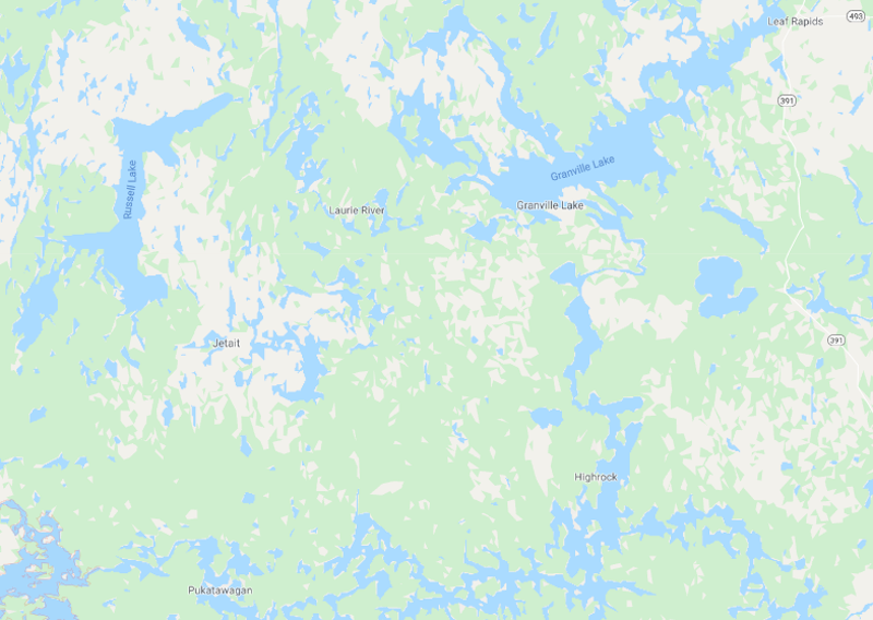
Manitoba’s Hydrologic Forecast Centre issued a flood warning shortly after 4 p.m. July 9 for areas including Mathias Colomb Cree Nation at Pukatawagan, Granville Lake and Leaf Rapids.
Water levels will begin to rise at Pukatawagan within three to five days, said the province, and peak in five to eight days, with water five to seven feet above the current level of 905.5 feet.
In Granville Lake, the water will take about two weeks to arrive and peak within three to four weeks at as many as 10 feet higher than the current level of 859 feet.
In Leaf Rapids, water will rise in about two weeks and peak within three to four weeks at eight to 10 feet above the current level of 856.3 feet.

